
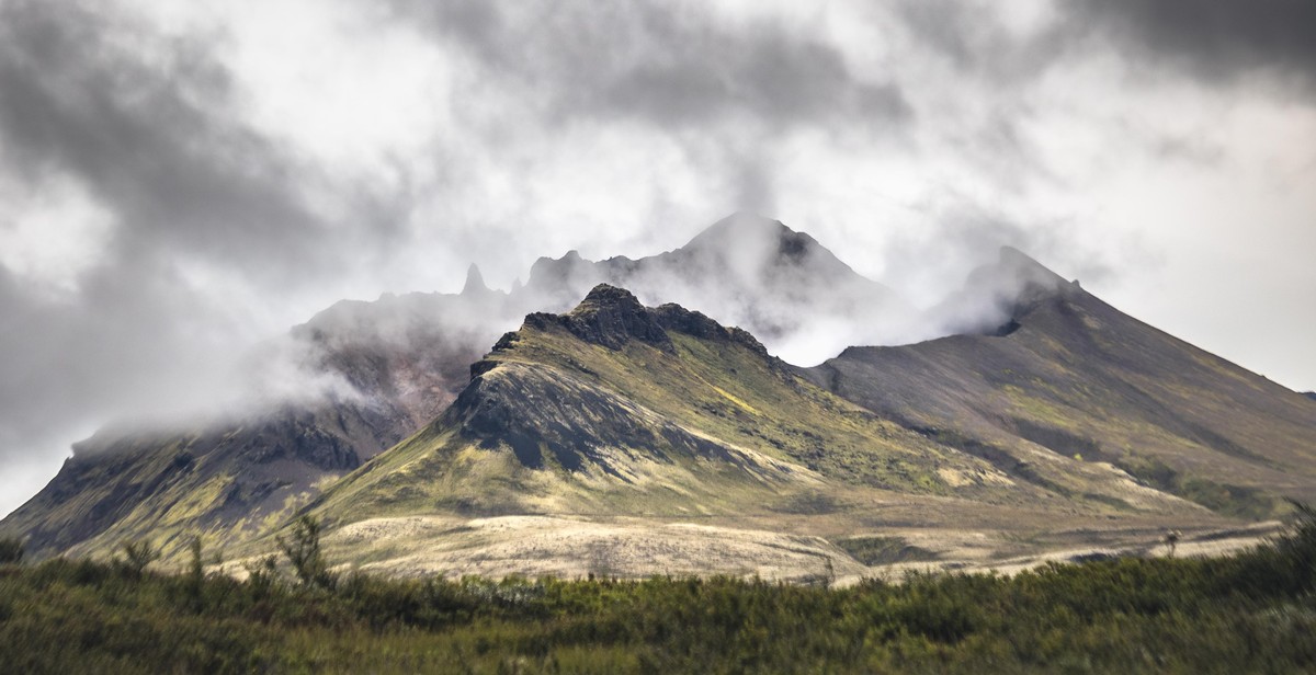
How to Monitor Volcanic Activity: Tools and Techniques for Tracking Volcanic Events
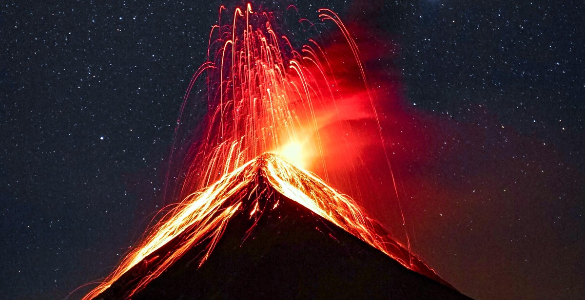
As someone who has been a part of the geological community for over a decade, I have seen firsthand the devastating effects of volcanic eruptions. From the ash clouds that disrupt air travel to the pyroclastic flows that destroy entire towns, volcanic activity can be incredibly destructive. That’s why it’s critical to monitor volcanic activity and track volcanic events as they unfold.
In this article, we’ll explore the tools and techniques used by geologists and volcanologists to monitor volcanic activity. We’ll discuss everything from seismographs and gas sensors to satellite imagery and ground deformation measurements. By the end of this article, you’ll have a better understanding of how volcanic monitoring works and how it can help keep people safe.
Why Monitoring Volcanic Activity is Important
Before we dive into the tools and techniques used to monitor volcanic activity, let’s first discuss why monitoring is so important. Volcanic eruptions can have significant impacts on the environment, the economy, and human health and safety. By tracking volcanic activity, scientists can provide early warnings to nearby communities, helping them prepare for potential eruptions and evacuate if necessary.
Monitoring volcanic activity can also help scientists better understand the underlying processes that drive volcanic eruptions. By studying the data collected from monitoring tools, scientists can gain insights into the mechanics of volcanic activity and use that information to make more accurate predictions about future eruptions.
Why Monitoring Volcanic Activity is Important
Volcanic activity is an unpredictable natural phenomenon that can lead to devastating consequences for human life and the economy. This is why monitoring volcanic activity is crucial to mitigate its impact.
Safety
One of the most important reasons why monitoring volcanic activity is important is to ensure the safety of people living in the vicinity of an active volcano. Volcanic eruptions can cause severe damage to infrastructure, homes, and businesses, and can result in death or injury to those in the area. By monitoring volcanic activity, scientists can detect signs of an impending eruption and issue timely warnings to the public. This allows people to evacuate the area and take necessary precautions to protect themselves and their property.
Economic Impact
Volcanic eruptions can have a significant impact on the economy of a region. They can disrupt transportation networks, damage crops and livestock, and cause power outages. Additionally, volcanic ash can damage machinery and equipment, leading to costly repairs or replacements. By monitoring volcanic activity, authorities can make informed decisions about when to close airports and other transportation routes, which can help minimize the economic impact of an eruption.
Overall, monitoring volcanic activity is essential for ensuring the safety of people living near active volcanoes and for minimizing the economic impact of volcanic eruptions. By using advanced tools and techniques, scientists can detect signs of volcanic activity and issue timely warnings, which can save lives and protect property.

Volcanic Monitoring Techniques
Monitoring volcanic activity is crucial for predicting eruptions and ensuring the safety of communities living near volcanoes. There are several techniques used to monitor volcanic activity, including seismic monitoring, gas monitoring, and satellite monitoring.
Seismic Monitoring
Seismic monitoring is the most widely used technique for monitoring volcanic activity. It involves monitoring the seismic waves generated by volcanic activity using seismometers. These instruments detect and record ground vibrations caused by volcanic activity, such as earthquakes, tremors, and explosions. Seismic monitoring can provide information about the location, depth, and intensity of volcanic activity. This information can be used to predict volcanic eruptions and issue early warnings to communities at risk.
Gas Monitoring
Gas monitoring involves measuring the composition and quantity of gases emitted by a volcano. Volcanoes release a variety of gases, including water vapor, carbon dioxide, sulfur dioxide, and hydrogen sulfide. Changes in gas emissions can indicate changes in volcanic activity. For example, an increase in sulfur dioxide emissions may indicate that magma is rising towards the surface. Gas monitoring can be done using ground-based instruments, such as gas sensors, or by sampling volcanic gases directly from the air using aircraft or drones.
Satellite Monitoring
Satellite monitoring involves using remote sensing techniques to monitor volcanic activity from space. This technique can provide a broad view of volcanic activity across large areas and can detect changes in volcanic activity that may not be visible from the ground. Satellite monitoring can provide information about volcanic ash plumes, gas emissions, and thermal anomalies. This information can be used to issue warnings to aviation authorities and communities at risk of volcanic activity.
Conclusion
Seismic monitoring, gas monitoring, and satellite monitoring are important techniques for monitoring volcanic activity. By combining these techniques, volcanologists can gain a comprehensive understanding of volcanic activity and provide early warnings to communities at risk of volcanic eruptions.

Volcanic Monitoring Tools
There are several tools and techniques that volcanologists use to monitor volcanic activity. These tools help to detect changes in the volcano’s behavior and provide early warning signs of an impending eruption. Some of the most commonly used tools include:
Infrasound Sensors
Infrasound sensors are used to detect low-frequency sound waves that are generated by volcanic activity. These sensors can detect volcanic explosions, gas emissions, and even small rockfalls. Infrasound data can be used to estimate the size and location of volcanic explosions, which can help to predict the direction of ash plumes and assess the potential impact on surrounding areas.
Ground Deformation Sensors
Ground deformation sensors are used to measure changes in the shape of the volcano’s surface. These sensors can detect changes in the volcano’s shape that may indicate magma movement beneath the surface. There are several types of ground deformation sensors, including GPS, tiltmeters, and strainmeters. By monitoring these changes over time, volcanologists can determine the likelihood of an eruption.
Thermal Cameras
Thermal cameras are used to detect changes in temperature on and around the volcano. These cameras can detect hot spots and changes in the temperature of the volcano’s crater, which can indicate the presence of new magma. Thermal cameras can also be used to monitor lava flows and assess the potential impact on surrounding areas.
Gas Analyzers
Gas analyzers are used to measure the composition and quantity of gases emitted by the volcano. These analyzers can detect changes in gas emissions that may indicate an impending eruption. By monitoring gas emissions over time, volcanologists can determine the type and amount of magma that is present beneath the surface.
| Tool | Function |
|---|---|
| Infrasound sensors | Detect low-frequency sound waves generated by volcanic activity |
| Ground deformation sensors | Measure changes in the shape of the volcano’s surface |
| Thermal cameras | Detect changes in temperature on and around the volcano |
| Gas analyzers | Measure the composition and quantity of gases emitted by the volcano |

Challenges in Volcanic Activity Monitoring
While monitoring volcanic activity can be an essential task for predicting and mitigating natural disasters, it is not without its challenges. Here are some of the most significant challenges in volcanic activity monitoring:
Remote Locations
Volcanoes are often located in remote and inaccessible areas, making it difficult to set up monitoring equipment and maintain it. This can also make it challenging to gather data in real-time, as communication infrastructure may be limited or non-existent in these areas. As a result, monitoring teams may need to rely on satellite imagery and other remote sensing techniques to get a complete picture of volcanic activity.
Limited Resources
Monitoring volcanic activity can be a resource-intensive task, requiring specialized equipment and trained personnel to operate and maintain it. However, many countries with active volcanoes may have limited resources to devote to monitoring efforts, which can result in incomplete data or a lack of monitoring altogether. In some cases, this can lead to a delayed response to volcanic activity and an increased risk of damage or loss of life.
Data Interpretation
Collecting data on volcanic activity is one thing, but interpreting that data to make accurate predictions and forecasts is another. Volcanic activity can be highly complex and unpredictable, making it challenging to develop reliable models and forecasts. Additionally, volcanic activity can vary significantly from one volcano to another, making it difficult to apply generalizations or trends to specific cases.
| Challenges | Impact |
|---|---|
| Remote Locations | Difficulty in setting up monitoring equipment and maintaining it |
| Limited Resources | Incomplete data or a lack of monitoring altogether |
| Data Interpretation | Difficulty in developing reliable models and forecasts |
Despite these challenges, advances in technology and techniques for monitoring volcanic activity have made it possible to obtain more accurate and timely information about volcanic events. By overcoming these challenges, monitoring teams can help to minimize the impact of volcanic activity on human life and infrastructure.
Conclusion
In conclusion, monitoring volcanic activity is essential for predicting and mitigating potential hazards associated with volcanic eruptions. This article has provided an overview of the tools and techniques used by volcanologists to track volcanic events.
Key Takeaways
- Volcanic activity can be monitored using a variety of techniques, including satellite imagery, ground-based sensors, and aerial observations.
- Real-time monitoring of volcanic activity can help predict eruptions and issue timely warnings to at-risk populations.
- Volcanic monitoring data can also provide valuable insights into the behavior of volcanoes and help improve our understanding of these complex geological systems.
Final Thoughts
As someone who has worked in the field of volcanology for many years, I can attest to the importance of monitoring volcanic activity. By using the tools and techniques outlined in this article, volcanologists can gather critical data that can help protect communities and save lives in the event of an eruption.
Whether you are a scientist, emergency manager, or simply someone interested in the fascinating world of volcanoes, I hope this article has provided you with a better understanding of how we monitor these powerful geological features.