
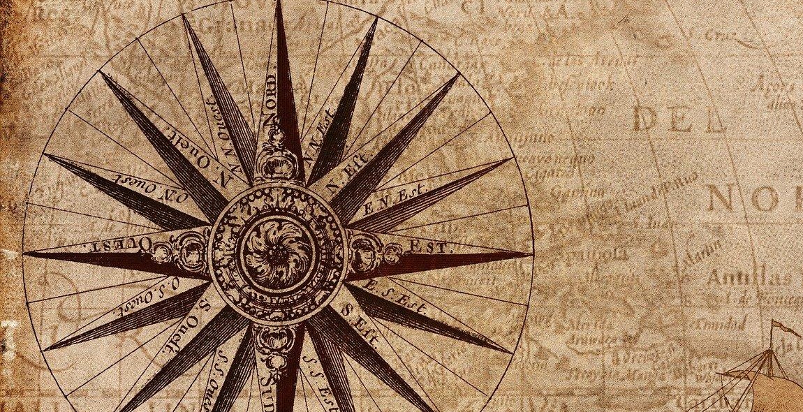
How to Navigate with a Compass: Reading Maps and Using Orienting Techniques
As an experienced hiker and adventurer, I have come to rely on my compass as an essential tool for navigation. Whether I am exploring a new trail or venturing off the beaten path, a compass allows me to confidently navigate my surroundings and stay on course.
In this article, I will share my knowledge and expertise on how to navigate with a compass. We will explore the basics of reading maps, understanding orienting techniques, and using your compass to navigate in the wilderness. Whether you are a seasoned outdoorsman or a beginner hiker, this guide will provide you with the knowledge and skills necessary to navigate with confidence.
Reading Maps
Before we dive into using a compass, it is important to understand how to read a map. Maps are essential tools for navigating in the wilderness and can provide valuable information such as topography, elevation, and landmarks. In this section, we will explore the basics of reading a map and identifying key features.
Understanding Orienting Techniques
Once you have a basic understanding of how to read a map, the next step is to learn orienting techniques. Orienting your map and compass allows you to align your surroundings with your map, providing you with an accurate representation of your location and direction of travel. In this section, we will explore different orienting techniques and how to use them in the field.
Using Your Compass to Navigate
Now that you understand how to read a map and orient yourself, it is time to learn how to use your compass to navigate. A compass is a reliable tool that allows you to determine your direction of travel and stay on course. In this section, we will explore the basics of using your compass and how to integrate it with your map and orienting techniques.
By the end of this article, you will have a solid understanding of how to navigate with a compass, read maps, and use orienting techniques. With this knowledge and experience, you will be able to confidently explore the wilderness and navigate with ease.

Understanding the Compass
Before you can effectively navigate with a compass, it’s important to understand the different parts of a compass and how it works.
Parts of a Compass
A compass consists of a magnetic needle, a rotating bezel, a baseplate, and orienting lines. The magnetic needle is the most important part of the compass and is responsible for pointing to the magnetic north.
The rotating bezel is used to measure the angle between magnetic north and the direction you want to go. The baseplate is used for measuring distances on a map and for plotting a course. The orienting lines help you align the compass with the map.
Magnetic North vs True North
It’s important to understand the difference between magnetic north and true north. Magnetic north is the direction that the magnetic needle points to and is different from true north, which is the direction towards the North Pole.
The difference between magnetic north and true north is called declination.
Declination
Declination is the angle between magnetic north and true north. It’s important to adjust for declination when using a compass for navigation.
Most maps will have a declination diagram that shows the angle of declination for a specific area. You can adjust your compass by turning the rotating bezel so that the declination angle is aligned with the orienting lines.
By understanding the different parts of a compass and the difference between magnetic north and true north, you can effectively navigate with a compass and read maps with confidence.

Reading a Map
Before you can navigate with a compass, you must first know how to read a map. Here are some important things to keep in mind:
Types of Maps
There are different types of maps that you may encounter:
- Topographic Maps: These maps show the terrain, contours, and elevation of an area.
- Road Maps: These maps show the roads and highways in an area.
- Satellite Maps: These maps show an aerial view of an area.
Map Symbols and Legend
Maps use symbols to represent different features and landmarks. A map legend explains what each symbol means. Some common symbols include:
| Symbol | Meaning |
|---|---|
 |
Represents a tree or group of trees |
 |
Represents a river or stream |
 |
Represents a building or structure |
Scale and Distance
The scale of a map tells you the ratio between the distance on the map and the actual distance on the ground. For example, a scale of 1:50,000 means that one unit of measurement on the map represents 50,000 units in real life.
To measure distance on a map, you can use a ruler or the scale bar provided on the map. Simply measure the distance between two points and then use the scale to determine the actual distance.
By understanding these basic elements of a map, you can begin to navigate with a compass and orient yourself to your surroundings.

Orienting Techniques
Navigating with a compass requires some basic orienting techniques to ensure that you are heading in the right direction. There are two main techniques that you can use to orient a map: using a compass and using landmarks.
Using a Compass to Orient a Map
The compass is a crucial tool for orienting a map. Before using a compass, you need to make sure that the map is placed on a flat surface and that it is not moving. Here are the steps to orient a map using a compass:
- Place the compass on the map with the edge of the baseplate along the line that you want to follow.
- Rotate the map and the compass until the north arrow on the compass is pointing to the north on the map.
- Hold the compass steady and turn the map until the orienting lines on the compass are parallel to the north-south grid lines on the map.
- The map is now oriented. You can use the compass to follow a specific route or to take bearings on landmarks.
Using Landmarks to Orient a Map
Another orienting technique is to use landmarks. This technique is useful when you are on the ground and cannot use a compass to orient the map. Here are the steps to orient a map using landmarks:
- Identify a prominent landmark that you can see on the map and on the ground. This could be a mountain peak, a tall building, or a distinctive tree.
- Rotate the map until the landmark is in the correct position relative to the other features on the map.
- Identify another landmark and repeat the process until the map is fully oriented.
- You can now use the map to navigate using the landmarks as reference points.
| Tip: | When using landmarks to orient a map, it is important to choose features that are easy to identify and unlikely to move, such as mountains or large buildings. |
|---|
By using these orienting techniques, you can ensure that you are heading in the right direction and following the correct route. Whether you are hiking in the mountains or exploring a new city, a compass and a map are essential tools for any adventurer.
Navigating with a Compass: Taking a Bearing
Taking a bearing with a compass is the first step in navigating with a compass. To take a bearing, you need to:
- Hold the compass flat in your hand and make sure the direction of travel arrow is pointing away from you.
- Turn the housing so that the orienting arrow lines up with the magnetic north arrow on the baseplate.
- Point the direction of travel arrow towards the object you want to navigate to.
- Read the bearing at the index line on the housing.
Following a Bearing
Once you have taken a bearing, you need to follow it to reach your destination. To follow a bearing, you need to:
- Hold the compass level in front of you and turn your body until the needle is aligned with the orienting arrow.
- Rotate the housing until the direction of travel arrow is pointing towards your destination.
- Walk in the direction of the direction of travel arrow, keeping the compass level and steady.
Adjusting for Declination
Declination is the difference between true north and magnetic north. To navigate accurately, you need to adjust for declination. To adjust for declination, you need to:
- Find out the declination for your location.
- Turn the housing so that the orienting arrow is pointing towards true north.
- Rotate the bezel until the declination scale aligns with the index line on the housing.
| Location | Declination |
|---|---|
| New York City | -12° 34′ |
| Los Angeles | +12° 45′ |
| London | +2° 34′ |